

OpenAir.toolsPlanning, Performance & Tracking for the Outdoors
Practical, free tools for those who live for the mountains. Openair uses AI to create intuitive interfaces powered by proprietary datasets and spatial knowledge that generic models lack. We build the tech to solve the real-world problems runners and hikers face – keeping the data expert and the experience human, so you can focus on the movement.
An analysis of 11.2 million parkrun results exploring age grading accuracy and proposing the Terrain-Adjusted Grade (TAG) – a new metric that accounts for course difficulty.
Adding course difficulty factors for the 112 parkrun Ireland courses to the 27 Northern Ireland courses already in the UK dataset — completing TAG coverage across the whole island using 19,401 shared runners as the calibration bridge.
Extending Terrain-Adjusted Grade (TAG) course difficulty factors to Australian parkrun courses.
Extending Terrain-Adjusted Grade (TAG) course difficulty factors to New Zealand parkrun courses.
Testing TAG predictions against 993 club runners at Wilmslow and Brentwood — accurate to ±5 minutes for 47% of runners, with competitive athletes consistently beating predictions.
Validating TAG marathon predictions against 560 runners at Chester 2025 — 91% within ±20 minutes whether predicting from parkrun or half marathon, showing the formula scales correctly with distance.
Tools

Explore running routes across the UK with detailed stats, elevation, terrain and personalised target times. Filter by distance, national parks, mountainous routes and more.

Our unique itinerary planners provide a level of detail unmatched by standard guides, offering precise statistics for every individual section of your route. Choose from four speed profiles and generate a fully customisable itinerary with free GPX downloads.

Find the best time to hike any of our trails – month-by-month weather, daylight, and crowd data to help you pick the perfect window for your adventure.

Draw or import any route and get accurate hiking or trail-running time estimates based on distance, elevation, terrain and your chosen pace profile. Export GPX with timing data and checkpoints.

Build a calibrated hiking kit list tailored to your trail, conditions and walker persona. Get a personalised packing plan that balances safety, comfort and weight – no guesswork, no missing essentials.

Know your real parkrun performance. Enter your time, age, gender and course to get your Terrain-Adjusted Grade – a single score that accounts for course difficulty. Compare fairly across 972 parkrun venues in the UK and Ireland.

Calculate your Terrain-Adjusted Grade and predict times across 597 Australian and New Zealand parkrun courses. Compare your performance fairly across every ANZ venue.

A universal performance calculator for any run, any distance. Enter a recent result and get your Terrain-Adjusted Grade calibrated for distance, ascent, surface and age. Predict equivalent times on any other course.
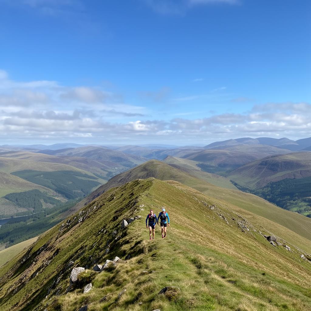
Calculate age-graded handicap scores for veteran fell runners using SLMM standards. Enter your time, age and course details to get your handicap and compare performances fairly across all age categories.

Bagged! is a free, mobile-friendly tracker for peak baggers aiming to summit all 214 Lake District fells. Log summits, earn achievement cards, and visualise your journey with interactive maps and colour-coded region tiles.