OpenAir

    Your Self-Guided Adventure Starts Here

    Create Your Self-Guided Tour du Mont Blanc Route Itinerary

    Choose your pace, start point and direction — we'll build a personalised, self-guided day-by-day route itinerary with distances, ascent, descent and walking times for your Tour du Mont Blanc adventure.

    Download GPX route files for every stage. Stops are based on access to accommodation including refuges (does not include camping).

    1

    Choose your Starting Point

    The most popular starting point is Les Houches, accessible by train via Chamonix. Courmayeur is also a popular alternative start on the Italian side.

    2

    Choose your Direction

    Anti-clockwise is the traditional and most popular direction.

    3

    Choose your Pace

    4

    Choose your Start Date

    The ideal window is early July to early September, when refuges are open and high passes are less likely to have lingering snow. The wider season runs mid-June to mid-September, but from July you'll likely have the best conditions.

    5

    Choose your Daily Hours

    Total Moving Time
    81h 37m
    Hours Per Day8h
    Easy (4h)Standard (8h)Long (12h)
    Your Journey
    10days

    Based on an average of 8 hours on the trail per day

    6

    Generate Your Instant Free Itinerary

    • No log-in required
    • See a zoomable map of all the stages
    • You'll see your full day-by-day plan instantly
    • Ability to adjust stops, add rest days
    • Downloadable Tour du Mont Blanc GPX files
    • Save your plan as PDF

    How Our Planner Helps

    Choose Your Pace

    Four speed profiles from trail runner to explorer.

    Set Your Dates

    Pick a start date and daily walking hours.

    Add Rest Days

    After generating your itinerary you can add rest days along the way.

    Interactive Map

    View each day's segment with trail details.

    GPX Downloads

    Export a free GPX file for each day of your trek.


    Free Tour du Mont Blanc GPX Route Files

    Download free GPX route files for the Tour du Mont Blanc, split by day to match your personal itinerary. Our planner generates individual GPX route tracks for each of your stages, covering all 165 km through France, Italy and Switzerland.

    Each GPX file includes full elevation data and follows your chosen direction of travel. Load them onto Komoot, AllTrails, Garmin, OS Maps, or any GPS-compatible device. No sign-up required — just generate your itinerary and download.

    Komoot
    AllTrails
    Garmin
    OS Maps
    Maps.me
    Apple Watch

    Frequently Asked Questions


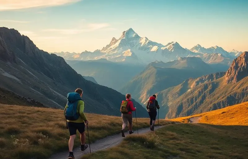
    Hikers walking the Tour du Mont Blanc trail

    How Long Does the Tour du Mont Blanc Route Take?

    The Tour du Mont Blanc route covers approximately 170 km (106 miles) with around 10,000 metres of cumulative ascent, circling the Mont Blanc massif through France, Italy and Switzerland. How long it takes depends entirely on how you choose to travel it. Based on averaging 8 hours a day on the trail, here's what to expect.

    Most walkers complete the self-guided route in 10 to 13 days, averaging around 13 to 17 km per day with comfortable overnight stops in refuges, gîtes and valley towns along the way. This is the classic pace — unhurried enough to soak in the stunning Alpine scenery, enjoy a meal at the end of each day, and still feel the satisfying pull of progress through three countries.

    For those who move light and fast, fastpacking the TMB route in around 8 days is a popular challenge. Covering 20 to 25 km a day with a stripped-back pack, fastpackers experience the route with a different kind of intensity — longer days on the trail and bigger transitions between valleys. It demands fitness and good mountain sense, but the sense of momentum is addictive.

    At the sharp end, experienced trail runners tackle the entire route in as few as 5 days, running significant distances daily across some of Europe's most spectacular high mountain terrain. It's a serious undertaking that combines endurance, mountain skills, and mental resilience — but for those with the legs and the drive, it's one of the great trail running challenges in the Alps.

    Our route planner lets you adjust daily hours and speed profile to find the perfect schedule for however you choose to travel. Whether you're planning a relaxed fortnight or a five-day push, we'll build you a day-by-day route itinerary that fits.
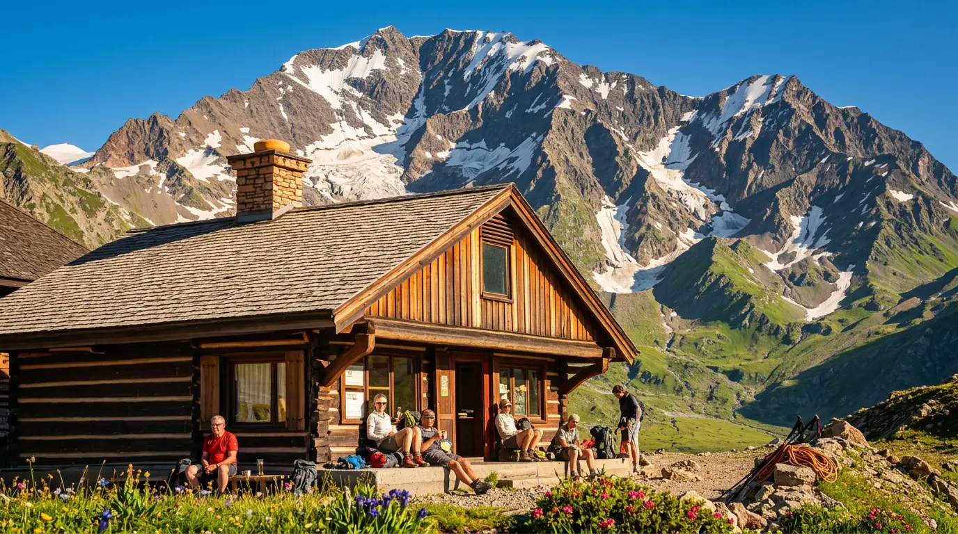
    Mountain refuge on the Tour du Mont Blanc

    Tour du Mont Blanc Route: Sample Itineraries

    Below are three sample self-guided itineraries generated by our planner, all starting from Les Houches in the traditional anti-clockwise direction at 8 hours per day. Use them as a starting point — you can customise your own in seconds using the planner above.


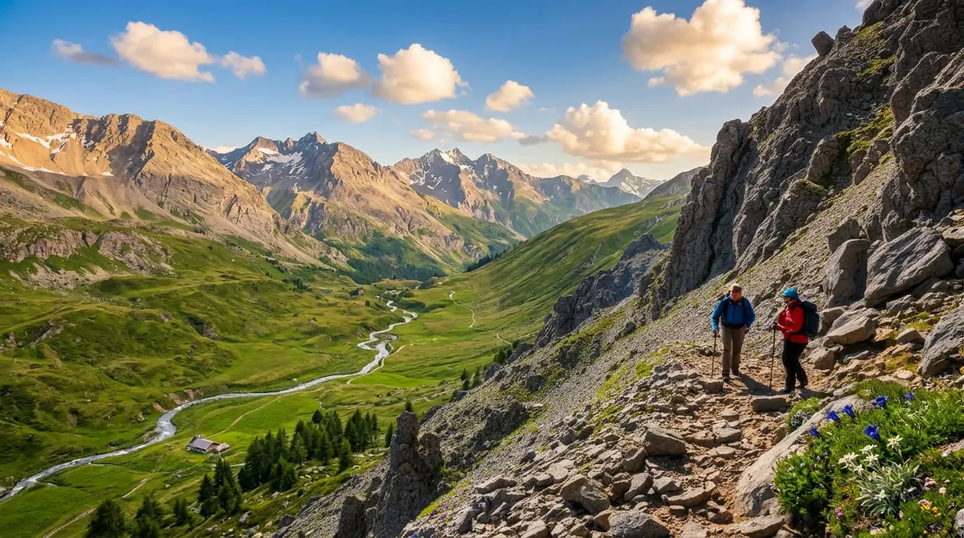
    Hikers on the Tour du Mont Blanc

    What to Expect on the Tour du Mont Blanc Route

    The Tour du Mont Blanc route is one of the world's most celebrated long-distance walking routes, circumnavigating the Mont Blanc massif through three countries: France, Italy, and Switzerland. Covering around 170 kilometres with approximately 10,000 metres of ascent, the route typically takes 7 to 11 days to complete and rewards walkers with an extraordinary variety of landscapes, from glacial valleys and rocky high passes to flower-filled alpine meadows and traditional mountain villages.

    The trail is most commonly walked starting from Les Houches, just outside Chamonix, climbing through alpine meadows to Col de Voza before descending through pine forests toward the village of Bionnassay, where the dramatic Glacier de Bionnassay comes into view with Mont Blanc beginning to dominate the skyline.

    The descent into the Vallée des Glaciers leads to the quiet hamlet of Les Chapieux, before the trail climbs again toward Col de la Seigne, the 2,516 metre pass marking the French-Italian border. The views here are breathtaking, with the full southern face of the Mont Blanc massif revealing itself in dramatic fashion.

    Leaving Italy, the trail climbs over 800 metres out of Courmayeur to reach Rifugio Bertone, then continues along a high natural balcony above Val Ferret, with the jagged north faces of Les Grandes Jorasses filling the horizon.

    The Swiss section brings a change in character, with gentler rolling pastures and the traditional wooden chalets of villages like La Fouly and Champex-Lac.

    The final section back into France is among the most dramatic. The route crosses the exposed Aiguillettes des Posettes ridge before tackling a series of fixed metal ladders on the ascent to Refuge du Lac Blanc, perched above a glacial lake with exceptional reflections of Mont Blanc.


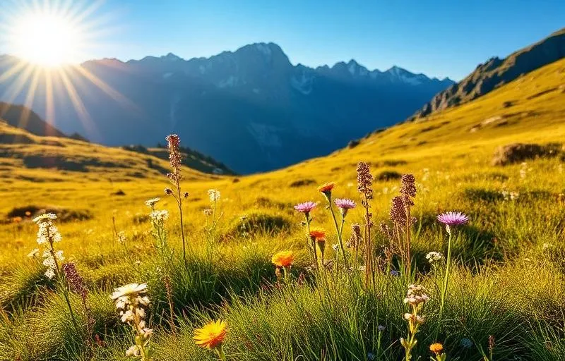
    Alpine wildflowers on the Tour du Mont Blanc

    Best Time to Walk the Tour du Mont Blanc Route

    The TMB route is a summer trail, with the main walking season running from late June to mid-September. Outside these months, high passes can be buried under snow and many refuges are closed.

    July and August are the most popular months, offering the most reliable weather and fully open huts and services. The downside is crowds. Popular refuges book out weeks in advance, and busy sections like the Vallée de Chamonix can feel anything but wilderness. If you're walking in peak season, book accommodation as early as possible.

    Late June can be magical if the snow has cleared, with wildflowers in full bloom and a fresher, quieter atmosphere on the trail. Some higher sections may still carry snow, so check conditions carefully and carry trekking poles.

    Early September is arguably the sweet spot. The summer crowds thin out, temperatures are cooler, the autumn light is stunning, and the mountain colours begin to shift. Most refuges stay open until mid-September, though it's worth confirming individual hut closures before you go.

    Avoid October onwards. The weather becomes unpredictable, snow returns to altitude, and services close. The TMB rewards those who time it well.


    "Lift your eyes from the trail. Every corner you turn is a different view, a different landscape. It shouldn't be a route march."
    Read about Kingsley Jones' experiences on the TMB

    Getting There & Transport

    How do I reach the start in Chamonix?

    Chamonix is easily accessible from Geneva Airport, about 1 hour away.

    🚐 By Transfer

    The most common option. Shuttle companies run frequent services from Geneva Airport directly to Chamonix (around 1–1.5 hours).

    🚆 By Train

    You can take a train from Geneva to Chamonix via Saint-Gervais-les-Bains. The journey takes around 2.5 hours and is very scenic.

    🚗 By Car

    Driving from Geneva takes just over an hour. Parking is available in Chamonix, but long-term parking should be arranged in advance.

    How do I get back at the end?

    Since the route is circular, you'll typically finish where you started — most commonly Chamonix.

    If you start elsewhere (e.g., Les Houches), local buses and trains connect all major points around the loop, making it easy to return to your starting location.

    We hope you have found this free planner helpful. If you need any help with booking your adventure, including accommodation and bag transfer:

    Big Trail AdventuresVisit Big Trail Adventures

    Do you have any other Trail Itinerary Planners?

    Yes! We have free itinerary planners for trails across the UK and Europe. Visit our Itinerary Planners page to see them all, or jump straight to a trail below. openair.tools/itinerary-planners

    England

    Scotland

    Scotland / England

    Wales

    Europe