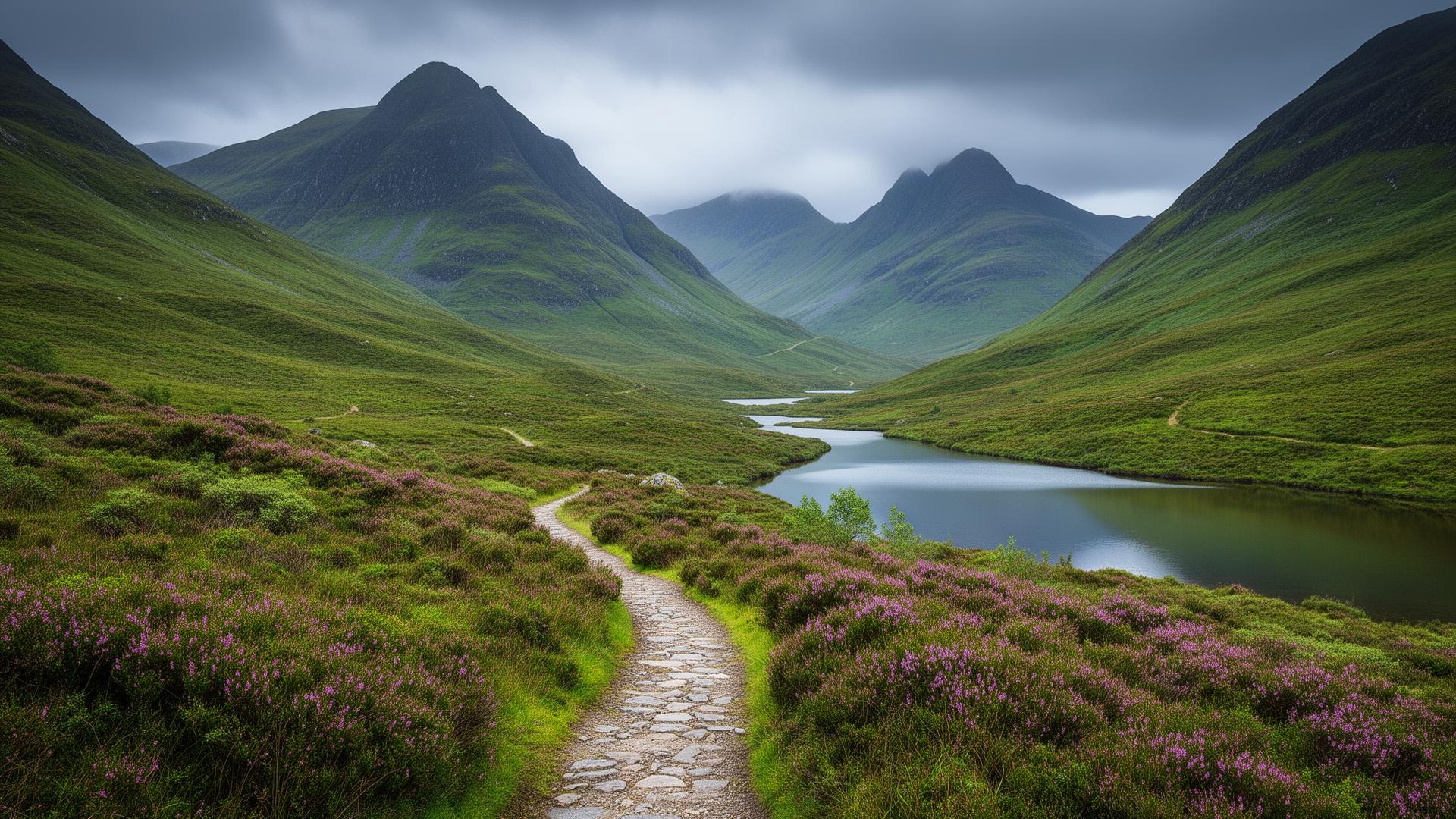
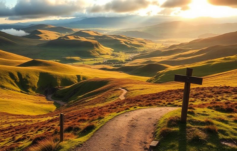
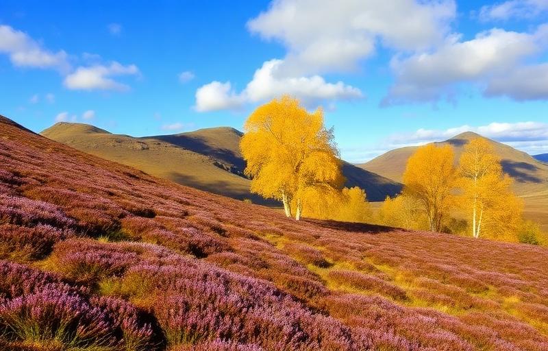
The Rob Roy Way was launched in 2002 and designated as one of Scotland's Great Trails, the route takes its name from Rob Roy MacGregor, the cattle drover, outlaw and Jacobite rebel who became one of Scotland's most celebrated folk heroes. The trail follows many of the tracks and droving paths he would have known intimately, passing through landscapes that shaped both his life and his legend.
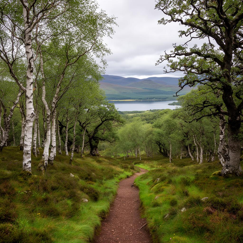
The walk begins gently, leaving Drymen on quiet roads before heading into the ancient woodland of Loch Ard Forest and the Queen Elizabeth Forest Park, arriving at the village of Aberfoyle in the heart of the Trossachs. From here the route climbs through the Menteith Hills and crosses open moorland before descending to Loch Venachar and on into Callander, known as the Gateway to the Highlands. This early section crosses the Highland Boundary Fault, the great geological divide where the Lowlands give way to the Highlands, and you can feel the landscape shifting as you move northward.
Beyond Callander the trail follows the shores of Loch Lubnaig, one of several beautiful lochs that define the middle section of the route, before reaching the village of Strathyre. A long stretch of cycleway then carries the path along the valley to Lochearnhead beside the waters of Loch Earn, and a crossing of the dramatic Glen Ogle leads to the attractive village of Killin at the western end of Loch Tay. This section has a satisfying rhythm to it, with wide views opening across the surrounding hills and a real sense of moving deeper into Highland country.
The ground becomes more demanding beyond Killin, where the route climbs high above Loch Tay on mountain paths before descending to follow the quiet road along its southern shore. The views here across the loch and its wooded hillsides are among the finest of the entire walk. Approaching Aberfeldy, the route passes the dramatic Falls of Acharn before descending through the Birks of Aberfeldy, a wooded gorge of birch, oak and ash celebrated in verse by Robert Burns. From Aberfeldy the final section follows the River Tay through Grandtully and across open moorland to reach Pitlochry, where a crossing of the River Tummel beside the impressive dam brings you into the town centre.
Throughout the route, historical connections add texture to the walking. Earthwork remains of Roman forts, Victorian aqueducts, Jacobite-era military roads and a 3,600-year-old stone circle all appear along the way, alongside the many places directly linked to Rob Roy's turbulent life. The trail is generally well waymarked and the terrain, a mixture of forest tracks, cycleway, disused railway trackbed and open hillside paths, keeps the walking varied without being relentlessly demanding. Most walkers complete the route in six to eight days. The larger stops, Callander, Killin, Aberfeldy and Pitlochry, offer a selection of accommodation and places to eat, while smaller villages like Strathyre and Aberfoyle have at least one or two welcoming options.