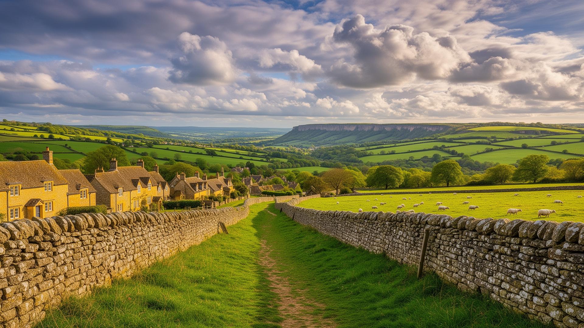
OpenAir

    Your Adventure Starts Here

    Create Your Cotswold Way Route Itinerary

    Choose your options below to create a personalised day-by-day plan.
    Stops are based on access to accommodation (does not include camping).

    1

    Choose your Direction

    2

    Choose your Pace

    3

    Choose your Start Date

    Select your date to start the Cotswold Way.

    4

    Choose your Daily Hours

    Total Moving Time
    54h 35m
    Hours Per Day8h
    Easy (4h)Standard (8h)Long (12h)
    Your Journey
    7days

    Based on an average of 8 hours on the trail per day

    5

    Generate Your Instant Free Itinerary

    • ✅ No log-in required
    • ✅ See a zoomable map of all the stages
    • ✅ You'll see your full day-by-day plan instantly
    • ✅ Ability to adjust stops, add rest days
    • ✅ Downloadable Cotswold Way GPX files
    • ✅ Save your plan as PDF

    How Our Planner Helps

    Choose Your Pace

    Four speed profiles from trail runner to explorer.

    Set Your Dates

    Pick a start date and daily walking hours.

    Add Rest Days

    After generating your itinerary you can add rest days along the way.

    Interactive Map

    View each day's segment with trail details.

    GPX Downloads

    Export a free GPX file for each day of your trek.

    Free Cotswold Way GPX Route Files

    Download free GPX route files for the Cotswold Way, split by day to match your personal itinerary. Our route planner generates individual GPX tracks for each of your stages, from Chipping Campden through the Cotswold escarpment to Bath.

    Each GPX file includes full elevation data and follows your chosen direction of travel. Load them onto Komoot, AllTrails, Garmin, OS Maps, or any GPS-compatible device. No sign-up required — just generate your itinerary and download.

    KomootAllTrailsGarminOS MapsMaps.meApple Watch

    Frequently Asked Questions


    How Long Does the Cotswold Way Route Take?
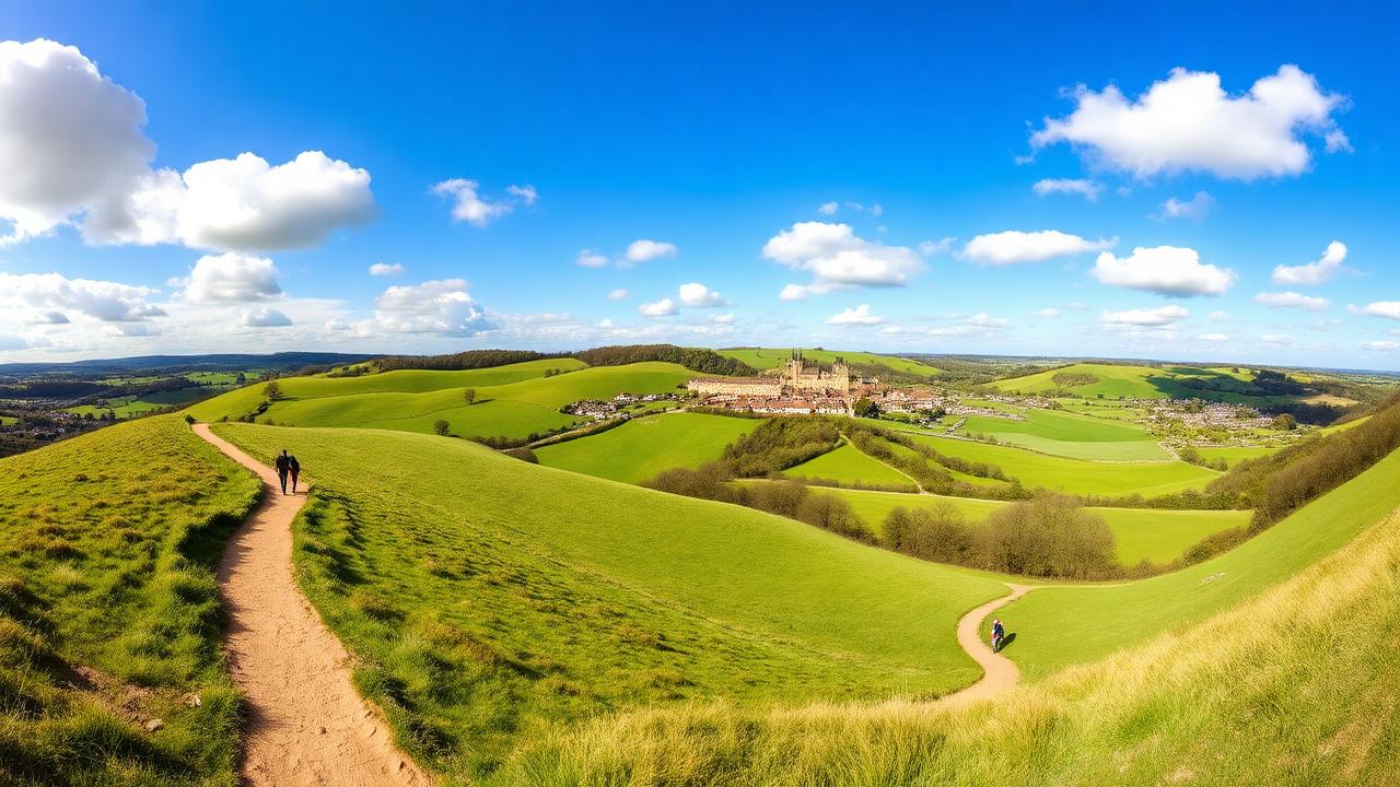
    Walkers on the Cotswold Way trail with rolling green hills and village in the distance

    The Cotswold Way route stretches approximately 160 km (100 miles) from Chipping Campden in the north to Bath in the south, following the western escarpment of the Cotswold Hills. How long it takes depends entirely on how you choose to travel it. Based on averaging 8 hours a day on the trail, here's what to expect.

    Most walkers complete the route in 7 to 9 days, averaging around 11 to 14 miles per day with comfortable overnight stops in villages and towns along the way. This is the classic pace, unhurried enough to soak in the stunning Cotswold scenery, enjoy a pub meal at the end of each day, and still feel the satisfying pull of progress along the escarpment.

    For those who move light and fast, fastpacking the Cotswold Way in around 5 days is a popular challenge. Covering 18 to 20 miles a day with a stripped-back pack, fastpackers experience the route with a different kind of intensity, longer days on the trail and bigger transitions between landscapes. It demands fitness and good navigation, but the sense of momentum is addictive.

    At the sharp end, experienced trail runners tackle the entire route in as few as 4 days, running significant distances daily across some of England's most beautiful terrain. It's a serious undertaking that combines endurance and mental resilience, but for those with the legs and the drive, it's one of the great trail running challenges in the Cotswolds.

    Our planner lets you adjust daily hours and speed profile to find the perfect schedule for however you choose to travel. Whether you're planning a relaxed week or a four-day push, we'll build you a day-by-day itinerary that fits.
    Sample Cotswold Way Route Itineraries by Pace

    Below are four sample Cotswold Way route itineraries based on 8 hours of walking per day, from Chipping Campden to Bath. Choose the pace that matches your fitness and style — click through for full day-by-day breakdowns with distances, elevation and descriptions. Use our free route planner above to generate your own personalised version with exact dates and GPX downloads.

    9-Day Explorer Route Itinerary

    A relaxed route with shorter days for soaking up the Cotswolds

    Nine days walking the Cotswold Way at explorer pace. Averaging around 18 km per day, this self-guided route itinerary leaves time to linger in honey-coloured villages, explore Iron Age hill forts, visit Sudeley Castle and Dyrham Park, and enjoy long pub lunches. Ideal for first-time long-distance walkers, anyone wanting an unhurried trip, or those treating the trail as a self-guided holiday rather than a challenge.

    161 kmTotal distance
    3,417mTotal ascent
    View full 9-day route

    7-Day Hiker Route Itinerary

    The classic week-long walking route at a comfortable pace

    The most popular way to walk the Cotswold Way. Seven days at hiker pace gives you time to explore honey-coloured villages, visit historic sites, and enjoy pub lunches without feeling rushed. Averaging around 23 km per day with roughly 8 hours of walking, this self-guided route itinerary suits anyone who wants to savour the Cotswold escarpment rather than race along it.

    161 kmTotal distance
    3,417mTotal ascent
    View full 7-day route

    5-Day Fastpacker Route Itinerary

    Covering more ground each day with a lighter pack and stronger legs

    Five days covering the Cotswold Way at fastpacker pace — roughly 32 km per day with a light pack and minimal breaks. This self-guided route itinerary suits experienced long-distance walkers who are comfortable with sustained effort and want to cover ground efficiently while still sleeping in proper beds each night.

    161 kmTotal distance
    3,417mTotal ascent
    View full 5-day route

    4-Day Trail Runner Route Itinerary

    A long-weekend blitz for experienced endurance athletes

    Four days of trail running across the Cotswold Way, averaging 40 km per day with around 7 hours of moving time. This is a serious route that demands endurance, good navigation and a light pack. The Cotswold escarpment offers fast, runnable terrain on the ridge tops with sharp descents into the valleys — one of England's best multi-day trail running challenges.

    161 kmTotal distance
    3,417mTotal ascent
    View full 4-day route

    What to Expect on the Cotswold Way Route

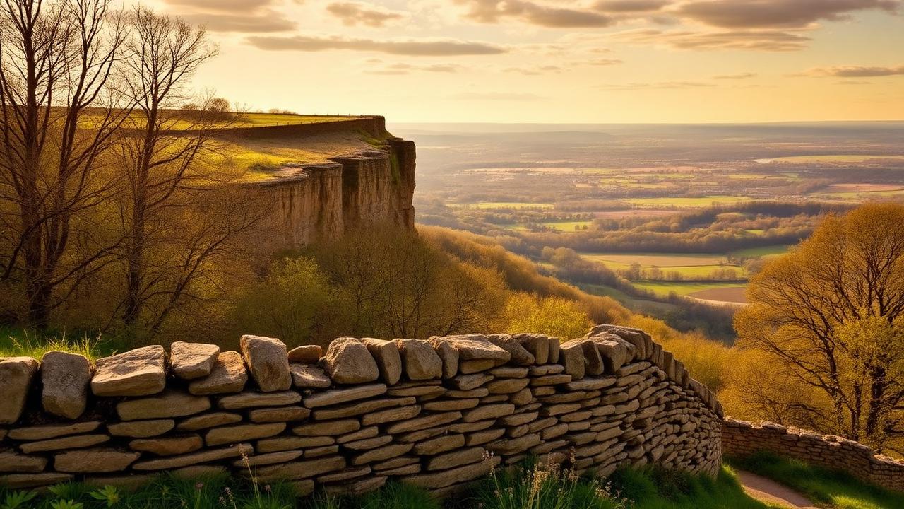
    Cotswold escarpment viewpoint overlooking the Severn Vale with dry stone wall and woodland

    The Cotswold Way route is one of England's most rewarding long-distance self-guided walking routes, stretching approximately 100 miles from the historic market town of Chipping Campden in Gloucestershire to the UNESCO World Heritage city of Bath. Threading through the heart of one of England's most celebrated landscapes, the route offers a compelling mix of open escarpment walking, ancient woodland, honey-stoned villages, and sweeping views across the Severn Vale that keep walkers engaged from start to finish.

    The route begins in Chipping Campden, a town of golden limestone buildings and a 17th-century Market Hall that sets the tone perfectly for what lies ahead. From here the trail climbs immediately to Dover's Hill, rewarding early efforts with panoramic views across the Vale of Evesham. The path then works its way south along the Cotswold escarpment, a ridge that delivers some of the finest viewpoints in central England. Highlights come thick and fast, from the folly tower at Broadway Hill and the Iron Age earthworks at Shenberrow Hill, to the elegant Jacobean manor at Stanway House with its extraordinary 91-metre gravity-fed fountain.

    History runs deep throughout the walk. Walkers pass Belas Knap, a remarkably preserved Neolithic long barrow dating to 3800 BCE, before reaching Cleeve Hill at 317 metres, the highest point on the entire route. From this exposed limestone summit, views stretch to the Malvern Hills, the Brecon Beacons, and across the rooftops of Cheltenham far below. Further south, the iconic Devil's Chimney rock formation at Leckhampton Hill stands as a quirky reminder of the Victorian quarrymen who once worked these slopes.

    The trail dips in and out of several appealing market towns and villages along the way, each offering food, accommodation, and a chance to absorb some local character. Winchcombe sits conveniently close to Sudeley Castle, the last home of Catherine Parr. Painswick, known as the Queen of the Cotswolds, charms walkers with its elegant stone streets and churchyard famous for its 99 yew trees. Dursley and Wotton-under-Edge both provide welcome rest stops, and North Nibley offers the striking Tyndale Monument, a 111-foot neo-Gothic tower commemorating the martyred Bible translator William Tyndale.

    The final miles carry the walk through the beautifully designed parkland of Dodington Estate and across the site of the 1643 Civil War Battle of Lansdown Hill, before delivering what many consider the most memorable moment of the whole journey. From Prospect Stile, the city of Bath suddenly appears in the valley below, framed by surrounding hills and seemingly unchanged from a Georgian watercolour. The descent into the city passes Royal Victoria Park and the sweeping facade of the Royal Crescent before the route ends at Bath Abbey, marked by a carved stone disc set into the pavement.

    The Cotswold Way is generally considered a well-waymarked, accessible trail suitable for walkers of moderate fitness, though several sections involve steep climbs and descents. Most walkers complete this self-guided hike in seven to ten days, with plentiful accommodation and transport links making logistics straightforward.

    The Best Time to Walk the Cotswold Way Route

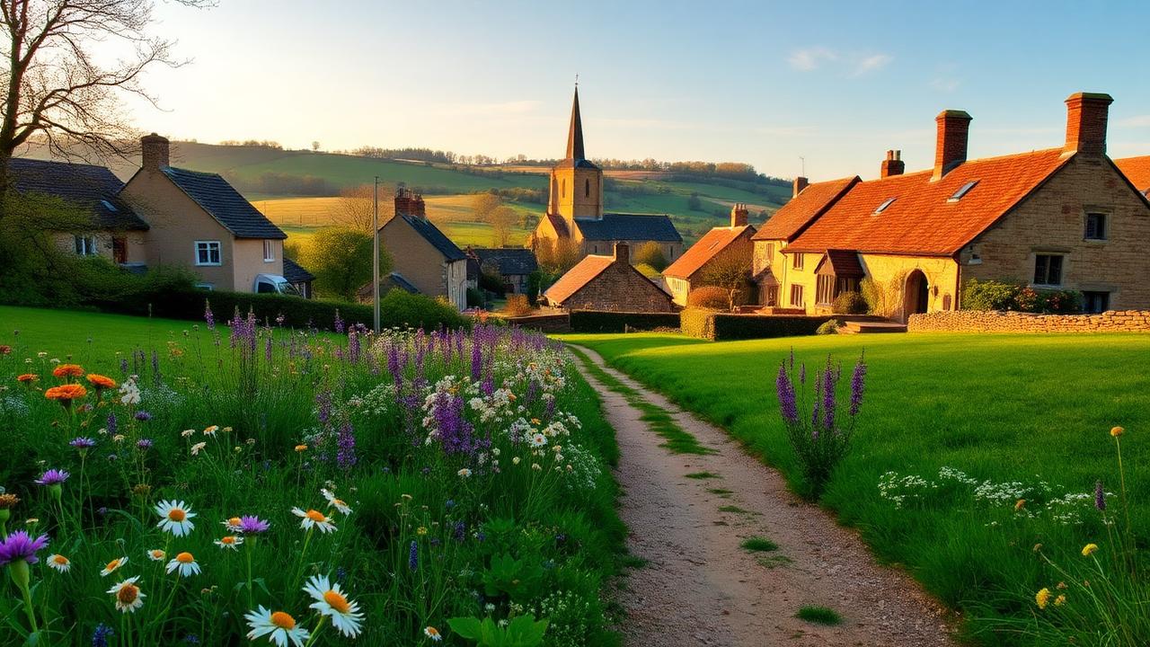
    Cotswold village in spring with wildflowers, church spire and honey-stone cottages

    May and June are the finest months to walk the Cotswold Way route. The escarpment is at its most beautiful, with long views west across the Severn Vale and into Wales, the limestone villages are surrounded by colour, and the beech woods that punctuate the route are in full fresh leaf. The days are long, the ground is firm underfoot, and the route is pleasantly busy without feeling crowded. This is the Cotswold Way at its most inviting.

    July and August bring warm and often dry conditions, and the rolling Cotswold landscape suits summer walking well. The route passes through some of the most visited villages in England, including Broadway, Bourton-on-the-Water nearby, and Chipping Campden at the northern end, and these get very busy with tourists in high summer. Accommodation along the route fills quickly and some of the more popular sections can feel less like wilderness walking and more like a very pleasant village stroll. Neither is a bad thing, but it is worth knowing what to expect.

    September is an excellent choice. The tourist crowds ease, the beech woods begin to turn, and the light over the escarpment on a clear autumn day is outstanding. The weather across the Cotswolds often stays settled and warm into the month and the walking is at its most relaxed. This is a genuinely lovely time to be on the trail.

    October is where the Cotswold Way arguably reaches its most dramatic and atmospheric. The beech woods along the escarpment turn to deep copper and gold, and sections around Haresfield Beacon, Painswick and Cleeve Hill are stunning in autumn colour. The weather becomes less reliable and the limestone paths can get slippery when wet, but for those willing to take a chance on the conditions, October walking on the Cotswold Way can be exceptional.

    November through to March is perfectly manageable on most sections, as the route avoids serious high ground and follows well-maintained paths through farmland, woodland and villages. The Cotswold Way is one of the more accessible national trails in winter, though the clay-heavy sections in the southern half can become very muddy after prolonged rain. Short days and limited daylight on the longer stages require realistic planning, and some smaller accommodation options close outside the main season. The escarpment in winter has a quiet, stripped-back quality that regular walkers of this trail often find deeply appealing.


    “I don't think I'll ever have something as magical as that on the trail, it felt like trail magic.”
    Read about Jennifer Stevens' experience of walking the Cotswold Way: You can't plan for Stanton.

    Getting There / Transport

    How do I reach the start in Chipping Campden?

    Chipping Campden is in the north of the Cotswolds, easily reachable from London and the Midlands.

    🚆 By Train

    The main line station is Moreton-in-Marsh (on the Cotswold Line from London Paddington, Worcester, or Oxford). From Moreton-in-Marsh, take the Stagecoach 2 or 2A bus (20–30 minutes) to Chipping Campden.

    🚌 By Bus

    Various services connect from Stratford-upon-Avon, Cheltenham, and Oxford.

    🚕 By Taxi

    Taxis are available from Moreton-in-Marsh, Evesham, or Stratford-upon-Avon stations to take you the final miles to Chipping Campden.

    How do I get back from Bath?

    Bath is a major transport hub, making the return journey very easy.

    🚆 By Train

    Bath Spa station is on the Great Western Main Line. Trains run frequently to London Paddington (approx. 80 minutes), Bristol (10–15 minutes), and Cardiff. You can also change in Bristol or Reading to connect to the Midlands and the North.

    🚌 By Coach

    National Express coaches run frequent services from Bath Bus Station to London Victoria, Heathrow Airport, Birmingham, and Manchester.

    🚕 Private Transfer

    Private car services are available to take you back to Chipping Campden or to Moreton-in-Marsh station if you left a car at the start.

    Our Other Trail Itinerary Planners

    Free itinerary planners for trails across the UK and Europe — each with personalised daily stages and GPX downloads.

    UK

    Europe

    View all planners on our Itinerary Planners page.

    We hope you have found this free planner helpful. If you need any help with booking your adventure, including accommodation and bag transfer:

    Big Trail Adventures