What to Expect on the Cumbria Way Route
The Cumbria Way is a long-distance walking route that threads through the heart of northern England, stretching roughly 124 kilometres from the market town of Ulverston in the south to the historic city of Carlisle in the north. It is a trail of real variety, moving from gentle farmland and lakeside paths through dramatic mountain valleys before finishing across the quieter, pastoral landscapes of the Caldew Valley. For walkers seeking a multi-day self-guided adventure that captures the very best of the Lake District and its surroundings, this route delivers something memorable at almost every turn.
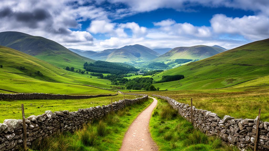
The trail begins quietly enough at Ulverston, climbing through rolling farmland and crossing drystone walls before the landscape starts to assert itself. The approach to Beacon Tarn, a small mountain lake nestled among the low fells, offers the first real taste of what lies ahead, with views opening toward the Coniston Fells and the terrain becoming noticeably wilder. The path then drops to the eastern shore of Coniston Water, following the lakeshore through ancient twisted oaks and pines before arriving in Coniston village, a well-stocked base with pubs, cafes and all the supplies a walker might need.
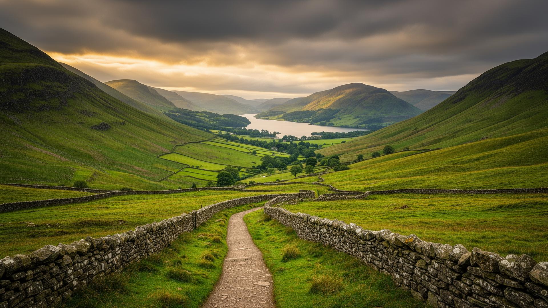
Heading northeast from Coniston, the route climbs through mixed woodland to reach Tarn Hows, a National Trust beauty spot that earns its reputation, with views across the water to the surrounding fells that are hard to leave behind. The path then descends toward the River Brathay, eventually emerging onto Elterwater Common with the iconic profile of the Langdale Pikes rising ahead. The villages of Elterwater and Chapel Stile offer welcome refreshment stops before the trail pushes deeper into Great Langdale, one of the Lake District's most dramatic valleys. The towering Pike of Stickle dominates the skyline as the path climbs toward the Old Dungeon Ghyll Hotel, a historic walkers' refuge that marks the end of the valley section.
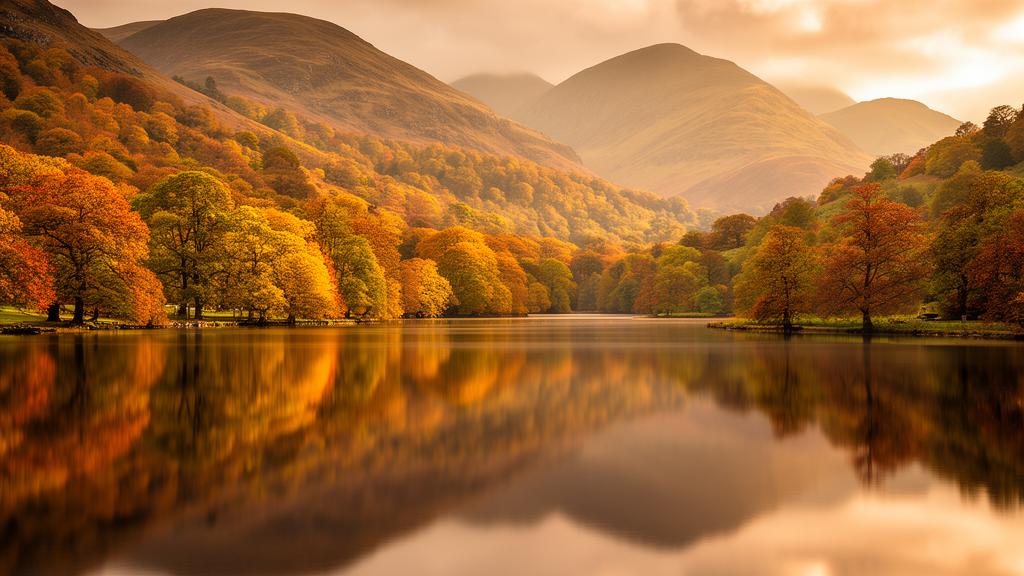
From here the walking becomes more serious. The route climbs steeply over Stake Pass before descending into the remote Langstrath valley, following Langstrath Beck through an ancient glacial landscape past waterfalls and wild swimming spots. The arrival at Stonethwaite and then Rosthwaite, with their welcoming inns and tearooms, feels well-earned. The next section follows the River Derwent through Borrowdale's woodland and along the shores of Derwentwater, passing Brandelhow Park, the very first Lake District property acquired by the National Trust, before reaching the busy market town of Keswick.
North of Keswick, the Cumbria Way enters its most remote and challenging stretch. The path climbs beneath the dramatic Lonscale Crags with sweeping views across to the Helvellyn range, before reaching Skiddaw House, at 470 metres Britain's highest and most remote bothy. Beyond here the trail reaches its highest point near Grainsgill Beck, passing the impressive Whitewater Dash waterfall on the descent. The final miles ease gently through the village of Caldbeck, rich with history and a good pub, before a pleasant riverside walk along the Caldew eventually delivers walkers into the centre of Carlisle and a well-deserved finish at the Market Cross.