

OpenAir

    Your Adventure Starts Here

    Create Your Anglesey Coastal Path Route Itinerary

    Choose your options, then we'll create a personalised route itinerary with an interactive map and free GPX downloads for your Anglesey Coastal Path adventure.

    Stops are based on access to accommodation (does not include camping). Includes a stage-by-stage map, free GPX route downloads, and PDF export.

    1

    Choose your Starting Point

    This circular trail lets you start anywhere. You'll complete the full loop, finishing back where you began. Popular places, with good train services, are Holyhead and Menai Bridge which is 4km/2.5 miles from Bangor Train Station on the mainland. Walking this would add another hour at the beginning and end of the trail.

    2↻

    Choose your Direction

    Follow the traditional route around the island.

    3

    Choose your Pace

    4

    Choose your Start Date

    Select when you plan to start your Anglesey Coastal Path adventure.

    5

    Choose your Daily Hours

    Total Moving Time
    61h 3m
    Hours Per Day
    8h
    Easy (4h)Standard (8h)Long (12h)
    Your Journey
    8days

    Based on an average of 8 hours on the trail per day

    5

    Generate Your Instant Free Itinerary

    • ✅ No log-in required
    • ✅ Interactive map showing every stage of the route
    • ✅ You'll see your full day-by-day plan instantly
    • ✅ Ability to adjust stops, add rest days
    • ✅ Free Anglesey Coastal Path GPX route files for every stage
    • ✅ Save your plan as PDF

    Want this trip booked for you?

    Big Trail Adventures arranges the whole trip, so all you have to do is walk.

    • Hand-picked places to stay along the way
    • Every night booked in one go
    • Built around your pace and dates
    Big Trail Adventures

    OpenAir Tools is built by the team behind Big Trail Adventures, who run hosted group departures and premium self-guided holidays on these trails.

    How Our Planner Helps

    Choose Your Pace

    Four speed profiles from trail runner to explorer.

    Set Your Dates

    Pick a start date and daily walking hours.

    Add Rest Days

    After generating your itinerary you can add rest days along the way.

    Interactive Map

    View each day's route on a zoomable map with trail and stage details.

    GPX Downloads

    Export a free GPX file for each day of your trek.


    Free Anglesey Coastal Path GPX Route Files

    Download free GPX files for the Anglesey Coastal Path, split by day to match your personal itinerary. Our planner generates individual GPX tracks for each of your stages — complete with an interactive map showing every stage of the route — from Holyhead around the entire coastline of the Isle of Anglesey and back.

    Each GPX file includes full elevation data and follows your chosen direction of travel. Load them onto Komoot, AllTrails, Garmin, OS Maps, or any GPS-compatible device and see the route on your map before you set off. No sign-up required — just generate your itinerary and download.

    KomootAllTrailsGarminOS MapsMaps.meApple Watch

    Frequently Asked Questions

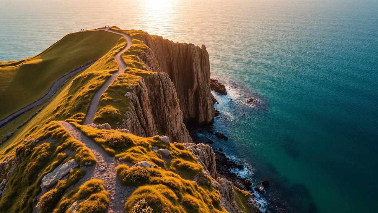
    Anglesey Coastal Path clifftop trail at golden hour

    How Long Does the Anglesey Coastal Path Take?

    The Anglesey Coastal Path stretches approximately 209 km (130 miles) around the entire coastline of the island. How long your self-guided walk takes depends entirely on how you choose to travel it. Based on averaging 8 hours a day on the trail, here's what to expect.

    Most walkers complete the route in 8 to 9 days, averaging around 14 to 16 miles per day with comfortable overnight stops in towns and villages along the coast. This is the classic pace — unhurried enough to enjoy the stunning coastal scenery, explore hidden coves, enjoy a pub meal at the end of each day, and still feel the satisfying pull of progress around the island.

    For those who move light and fast, fastpacking the Anglesey Coastal Path in around 6 days is a rewarding challenge. Covering 20 to 22 miles a day with a stripped-back pack, fastpackers experience the route with a different kind of intensity — longer days on the trail and bigger transitions between landscapes.

    At the sharp end, experienced trail runners tackle the entire route in as few as 4 days, running significant distances daily across some of Wales's most dramatic coastal terrain. It's a serious undertaking that combines endurance, coastal navigation skills, and mental resilience.

    Our planner lets you adjust daily hours and speed profile to find the perfect schedule for however you choose to travel.
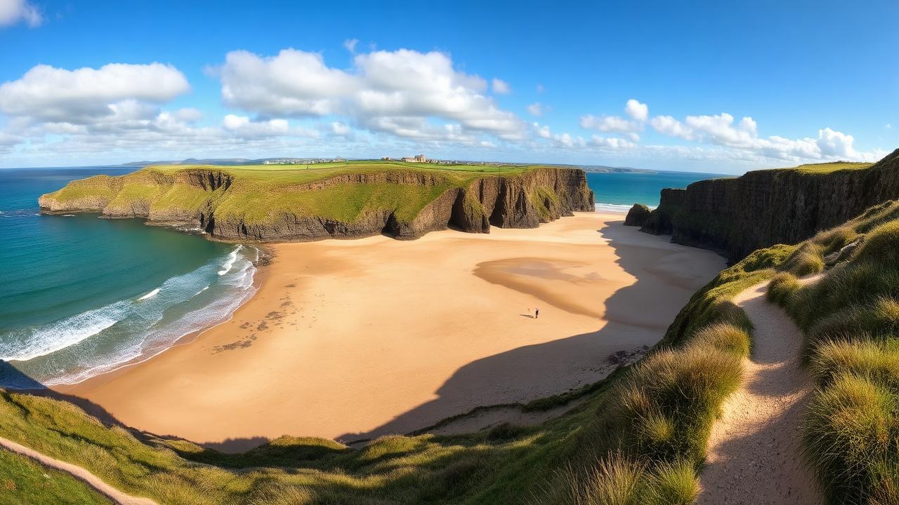
    Sandy beach and coastal cliffs along the Anglesey coastline

    What to Expect on the Anglesey Coastal Path

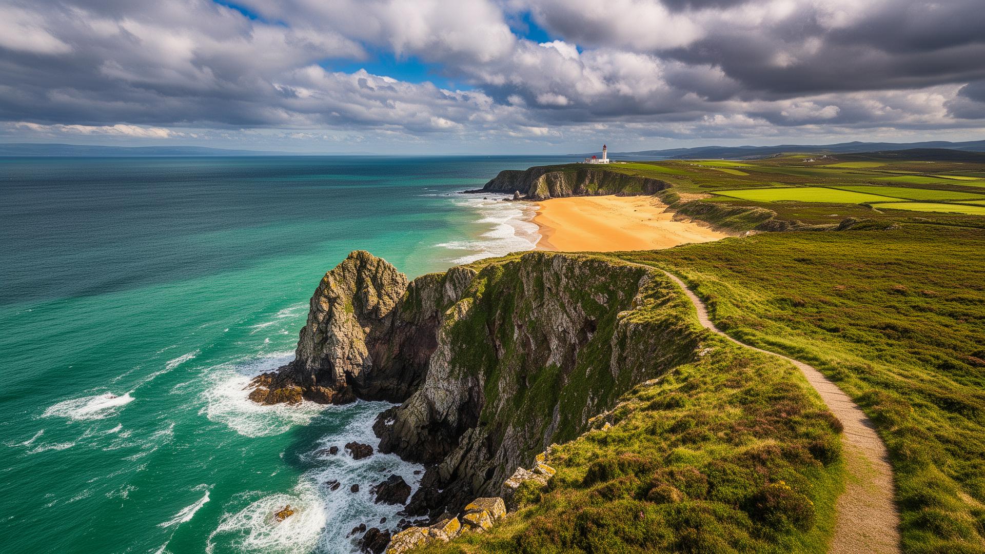
    Anglesey, the largest island in Wales, is encircled by one of Britain's most rewarding long-distance walking routes. The path traces the entire shoreline in a continuous loop, taking in rocky headlands, sweeping sandy beaches, secluded coves, estuaries busy with wading birds, and dramatic sea cliffs.

    The path begins and ends at St. Cybi's Church in Holyhead, a 13th-century building set within the walls of a Roman fort. From there, walkers head northeast along the island's wilder western shores, where Atlantic grey seals haul out on rocks below. At Trwyn y Gader, you reach the most northerly point of Wales. Nearby, at Hen Borth, an ancient petrified forest is revealed at low tide — tree stumps preserved in peat for around 6,000 years.

    The northern coastline brings Cemlyn Bay's internationally important tern colony, the abandoned Victorian brickworks at Porth Wen with their distinctive beehive kilns, and the fishing village of Moelfre with its RNLI heritage.

    As the route swings south, Red Wharf Bay opens up in a vast sweep of sand at low tide with views to Snowdonia. Penmon Point's lighthouse marks the southeastern tip, and the handsome town of Beaumaris offers a UNESCO World Heritage castle.

    The southern sections lead through Newborough Forest — a red squirrel sanctuary — onto spectacular dunes, past the remarkable Church in the Sea at Port Cwyfan, before finishing on Holy Island through the RSPB South Stack reserve where rare choughs and breeding seabirds keep company on the final miles.

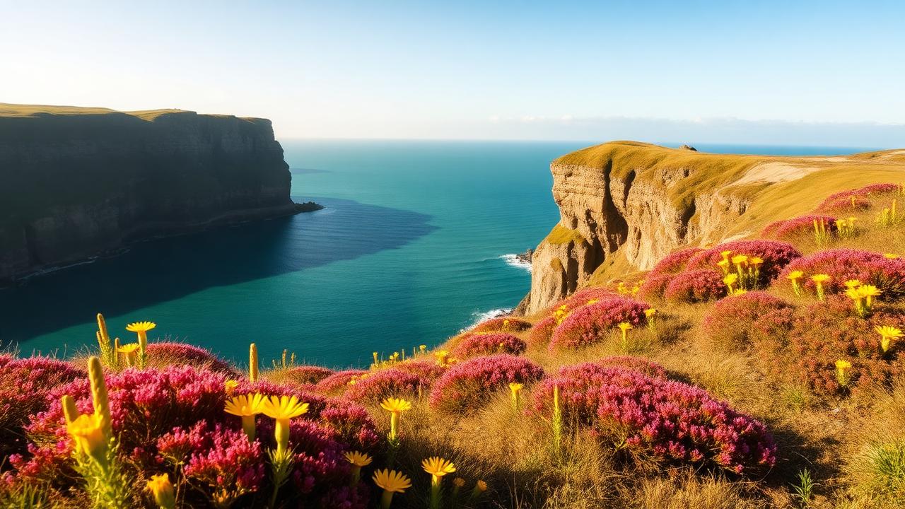
    Wildflowers and puffins on Anglesey coastal cliffs in spring

    The Best Time to Walk the Anglesey Coastal Path

    The Anglesey Coastal Path can be walked self-guided at any time of year, but the experience varies considerably depending on the season you choose.

    May and June are outstanding months. The coastal vegetation is lush, seabirds are nesting on the clifftops and sea stacks, and the light over the Irish Sea can be spectacular. Days are long, temperatures are comfortable, and the route is pleasantly uncrowded. This is also prime time to spot puffins around South Stack.

    July and August bring warmer weather and the best chance of clear views across to the Snowdonia mountains. The path gets busier around popular sections like Beaumaris and Holyhead. Book ahead and you'll be rewarded with the island at its liveliest and most colourful.

    September is a fine choice for those wanting quieter trails. The weather often remains settled, the sea takes on a deeper blue, and the coastal heather adds rich colour to the clifftop sections.

    October through to April is perfectly walkable and the island has a raw, dramatic quality in winter. Expect strong winds on exposed headlands, shorter days and some path closures for maintenance. The rewards are solitude and a very different kind of beauty.

    Getting There / Transport

    How do I reach the start in Holyhead?

    🚆 By Train
    Holyhead is well connected by rail, with direct services from Chester, Manchester, and London (via Bangor). The station is right on the coast, making it an ideal starting point.

    🚌 By Bus
    Bus services connect Holyhead with other towns on Anglesey and the North Wales mainland.

    🚕 By Taxi / Car
    Driving is straightforward via the A55 across North Wales. Parking is available in and around Holyhead if you're starting and finishing there.

    How do I get back from the end?

    As a circular route, you'll typically finish where you started — most commonly in Holyhead.

    🚆 By Train
    Return services run from Holyhead to major UK cities via Chester and beyond.

    🚌 By Bus
    Local buses can also be used to skip sections or return to your starting point if walking in stages.

    🚕 Private Transfer
    Taxi and private transfer options are available if you start and finish in different locations around the island.

    Sample Self-Guided Anglesey Coastal Path Itineraries

    Four sample self-guided itineraries based around 8 hours per day, starting from Holyhead and walking anticlockwise. Click through for full day-by-day route guides with stage descriptions, or create your own custom plan above.

    8-Day Anglesey Coastal Path Hiker Itinerary

    Walk steadily at a relaxed pace, take short breaks, and enjoy the scenery. • 208.9 km total • 2120 m ascent

    DayFromToDistanceAscentTime
    1HolyheadTrearddur Bay18.1 km319 m5h 54m
    2Trearddur BayRhosneigr25.8 km160 m7h 6m
    3RhosneigrDwyran32.4 km194 m8h 54m
    4DwyranBeaumaris27.7 km290 m8h 6m
    5BeaumarisBenllech26.4 km332 m8h
    6BenllechAmlwch Port24.6 km348 m7h 36m
    7Amlwch PortChurch Bay31.2 km330 m9h 12m
    8Church BayHolyhead22.7 km147 m6h 18m

    6-Day Anglesey Coastal Path Fastpacker Itinerary

    Fit and experienced, maintain a strong pace, take minimal breaks. • 208.9 km total • 2120 m ascent

    DayFromToDistanceAscentTime
    1HolyheadFour Mile Bridge32.8 km435 m7h 42m
    2Four Mile BridgeDwyran43.5 km238 m9h 18m
    3DwyranPenmon37.2 km404 m8h 30m
    4PenmonAmlwch Port41.5 km566 m9h 54m
    5Amlwch PortChurch Bay31.2 km330 m7h 6m
    6Church BayHolyhead22.7 km147 m4h 54m

    4-Day Anglesey Coastal Path Trail Runner Itinerary

    Combine running and fast hiking, carry light gear, focus on efficient progress. • 208.9 km total • 2120 m ascent

    DayFromToDistanceAscentTime
    1HolyheadRhosneigr43.9 km479 m7h 6m
    2RhosneigrMenai Bridge53.2 km376 m8h 12m
    3Menai BridgeAmlwch Port57.9 km788 m9h 36m
    4Amlwch PortHolyhead53.9 km477 m8h 30m

    Our Other Trail Itinerary Planners

    Free itinerary planners for trails across the UK and Europe — each with personalised daily stages and GPX downloads.

    UK

    Europe

    • Alta Via 1 (Italy) — 112 km (70 miles) · 8–12 days
    • Camí de Cavalls (Spain) — 184 km (114 miles) · 8–12 days
    • GR221 (Spain) — 138 km (86 miles) direct; 144 km (90 miles) via Refugi Tossals Verds · 6–9 days
    • Tour du Mont Blanc (France/Italy/Switzerland) — 165 km (103 miles) · 8–12 days

    View all planners on our Itinerary Planners page.